Gis
Advertisement
Quantum GIS v.1.8.0
Cross-platform and user friendly Open Source Geographic Information System (GIS). Quantum GIS (QGIS) is a user friendly Open Source Geographic Information System (GIS) that runs on Linux, Unix, Mac OSX, and Windows. QGIS supports vector, raster,
Advertisement

Grass GIS for Mac OS X 6.4.1-3 v.3
Commonly referred to as GRASS, this is a free Geographic Information System (GIS) used for geospatial data management and analysis, image processing, graphics/maps production, spatial modeling, and visualization.
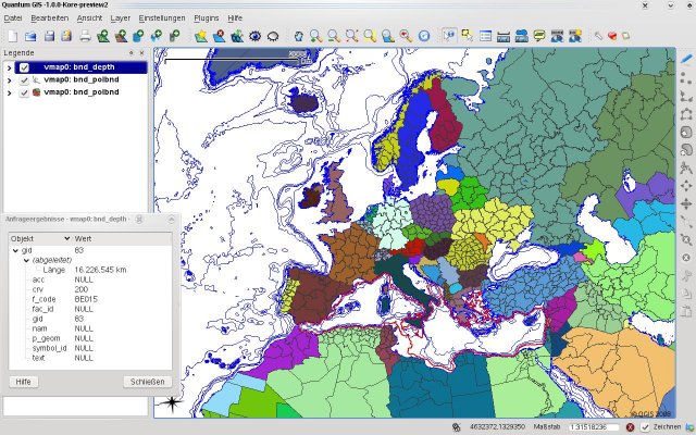
Quantum GIS form Mac v.1.8.0
QGIS supports vector, raster, and database formats and lets you browse and create map data on your computer.
GeoTools, the java GIS toolkit v.2.7.4
GeoTools is an open source java GIS toolkit.
Greek GIS, methods and data v.1.0
GIS data for Greece has been scarce.
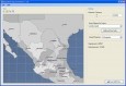
NetDesigner GIS v.1.0
An attempt to design minimum cost broadband networks with the use of a modified version of the Particle Swarm Optimization method.
GiS EmbroMailWriter english v.1 6
EmbroMail is a software for sending and receiving stitch data designs as an e-mail. So far only DOS-compatible stitch data formats like Tajima or ZSK transport code could be e-mailed.
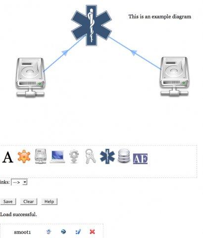
Smoot: Web-based diagram and GIS tool v.0.7.1
Web-based AJAX tool for creating diagrams of icons and links between them.
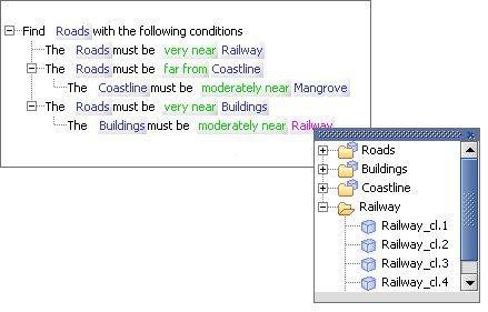
TreeSap - Qualitative Reasoning GIS v.1.0.1
TreeSap introduces simple yet powerful qualitative querying:rather than specifying a query using numerical measurements ("within 5km") english phrases are used ("near").
AnyChart Flash Map Converter v.1.0.4
Convert ESRI ShapeFiles (.SHP) geolocation data into AnyMap format to be used with AnyChart. AnyChart Flash Map Converter allows making use of a wide choice of maps with AnyChart, a GIS system that recognizes map data in AnyMap format only.