Gis
Advertisement

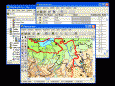
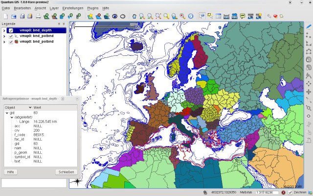
Quantum GIS Tethys v.1.5-r13926-1
The Quantum GIS Tethys repository contains a lot of software from OSGeo projects. Quantum GIS Tethys and all dependencies are included, along with Python, GRASS, GDAL, etc.
Advertisement
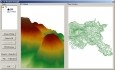
My World GIS v.4. 1. 2011
My World GIS™ is a Geographic Information System (GIS) designed specifically for use in middle school through college classrooms.
GIS ObjectLand v.2. 6. 2003
GIS ObjectLand is a universal Geographic Information System for Windows. Key features: - creation of vector-raster maps with arbitrary structure of layers and feature types; - creation of themes. Theme is a user presentation of a map; - control of
Quantum GIS v.1.8.0
Cross-platform and user friendly Open Source Geographic Information System (GIS). Quantum GIS (QGIS) is a user friendly Open Source Geographic Information System (GIS) that runs on Linux, Unix, Mac OSX, and Windows. QGIS supports vector, raster,
Canvas GIS Advanced (Mac) v.9.0.4
About Canvas GIS Advanced (Mac)Adds native support for Geographic Information System (GIS) data to Canvas.
AvisMap GIS Engine
AvisMap GIS Engine is a comprehensive SDK for the development of custom GIS applications and solutions. This SDK provides several ActiveX (OCX) controls which support Visual Basic, VB.NET, C#, Visual C++ and other ActiveX compatible programming languages,
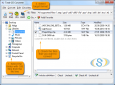
Total GIS Converter v.1.5
Total GIS Converter is a powerful converter of GIS files. It converts AEP, GRD, ADF, E00, FLT, APR, SHP, DXF and many other GIS formats to TIFF, PNG, JPEG, BMP. Along with conversion it can scale and resize your files. Download your free copy now!
AvisMap GIS Engine Sample Projects v.5.0
AvisMap GIS Engine is the basic development platform for AvisMap GIS suites, which is a new generation component GIS development platform for GIS application developers.
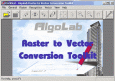
Algolab Raster to Vector Conversion CAD/GIS SDK v.2 55
Software development kit for CAD/CAM/ GIS and graphic software developers. Converts from raster to vector and refines architect, mechanical, tech drawing, maps, math graphs, graphics for books and journals and more.

Grass GIS for Mac OS X 6.4.1-3 v.3
Commonly referred to as GRASS, this is a free Geographic Information System (GIS) used for geospatial data management and analysis, image processing, graphics/maps production, spatial modeling, and visualization.
Quantum GIS form Mac v.1.8.0
QGIS supports vector, raster, and database formats and lets you browse and create map data on your computer.